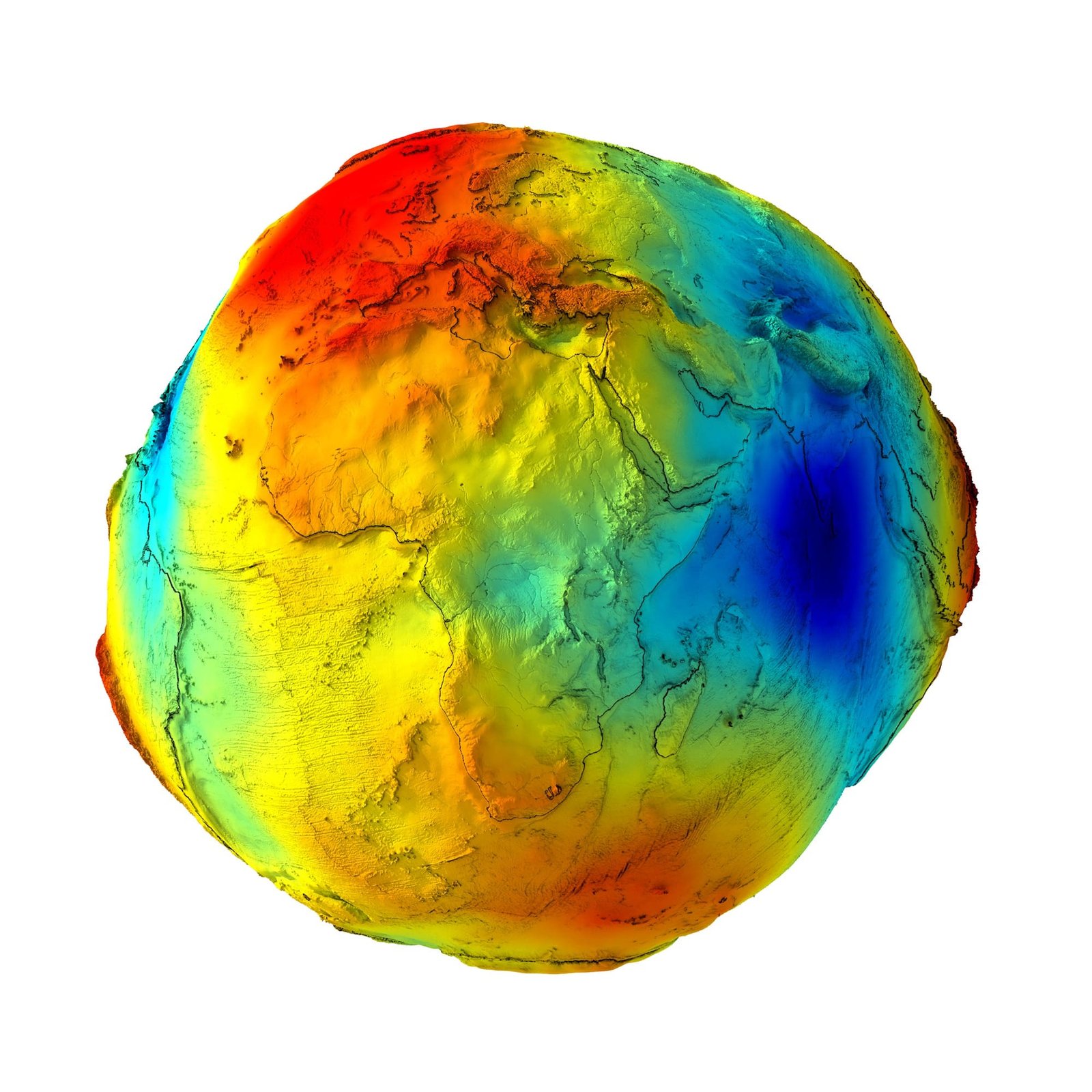
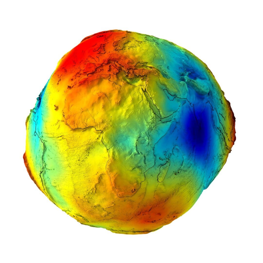
Earth’s Gravity Map 3D Model is a high-polygon digital model designed for scientific visualization, education, and professional graphics. It represents global gravitational anomalies using a combination of color-coded textures and exaggerated height displacement to clearly illustrate variations in Earth’s gravity field.Unlike artistic geoid sculptures, this model focuses on data-driven visualization, making it suitable for presentations, simulations, and educational content.Global Gravity Anomalies VisualizationA geoid is an equipotential surface of Earth’s gravity field, perpendicular to the direction of gravity at every point. Because the planet’s mass distribution is uneven, gravity strength varies across the surface, resulting in an irregular geoid shape.On this Earth gravity map, regions with stronger gravity are shown in red, while areas with weaker gravity appear in blue. Gravity variations are also expressed through height exaggeration, improving readability and visual clarity.Scientific ContextEarth’s surface gravity varies by approximately 0.7%, ranging from about 9.7639 m/s² at high-altitude equatorial regions to 9.8337 m/s² near the polar oceans. This model visually communicates those variations in an intuitive and accessible way. ApplicationsEducational and academic projectsScientific presentations and documentariesCartographic and geophysical visualizationMotion graphics and data-driven designKey FeaturesHigh-polygon Earth gravity visualizationColor-coded gravity anomaly textureHeight-based gravity displacementProfessional texture set (Color, Height, Normal)Compatible with Cinema 4D and OBJ pipelinesEarth's gravity Color Texture Earth's gravity Height Map Earth's gravity Normal Map Geoid height STL Model